Documents
22 files posted · last updated October 4, 2026
Every file opens in your browser, no sign-in required. Each is explained on the main page; start with the guide.
Read the guide to this file (PDF)
Download everything
All 22 files in 3 zip files — download each part; every part opens on its own and includes the guide.
- 0-Foose-Road_All-Documents_Part-1-of-3.zip7.2 MB · 10 files
- 0-Foose-Road_All-Documents_Part-2-of-3.zip6.9 MB · 10 files
- 0-Foose-Road_All-Documents_Part-3-of-3.zip2.4 MB · 4 files
Each file
- READ ME FIRST00-00_READ-ME-FIRST_2026-09-24_SnyderTeam-Compass.txt · 5 KB
- Guide to this fileStart here: every document listed and explained (PDF).00-01_Guide-to-This-File_2026-10-04_SnyderTeam-Compass.pdf · 8 KB
- Assessor map 4472-25, APN 011 highlightedTitle’s copy of the Assessor page with the 3.03-acre parcel outlined, and the neighboring parcels and Foose Road for context. Indicative, not a survey06-04_Assessor-Map-APN-011-Highlighted-INDICATIVE-NOT-A-SURVEY_2024-11-12_EquityTitle.pdf · 0.8 MB
- Assessor map 4472-25, APN 022 and its 1963 easementThe 1.01-acre parcel with the 1963 ingress and egress easement shaded; title notes that no width is given. Indicative, not a survey06-05_Assessor-Map-APN-022-with-1963-Ingress-Easement-INDICATIVE-NOT-A-SURVEY_2024-11-15_EquityTitle.pdf · 0.8 MB
- Title plat, APN 023 and its road easementsParcel 1 (the land) in red, the Parcel 2 road easement in yellow and the 1991 road, utility, pipe and drainage easement in green. Indicative, not a survey06-06_Title-Plat-APN-023-Parcel-and-Road-Easement-INDICATIVE-NOT-A-SURVEY_UNDATED_EquityTitle.pdf · 0.2 MB
- Preliminary title report, all three APNsNewConsumers Title order 26-14299-KBJ, amended 30 September 2026 to delete items 10, 11, 12 and 14 (easements that do not affect this land). Effective 15 September 2026. Covers APNs 4472-025-011, -022 and -023 in one report. No loans of record. Sellers’ names redacted for privacy; the full report goes to a buyer’s agent on request. Supersedes the November 2024 Equity Title reports06-07_Preliminary-Title-Report-AMENDED-All-Three-APNs-Order-26-14299-KBJ_2026-09-30_ConsumersTitle_REDACTED.pdf · 1.0 MB
- Plotted easements, all three APNsNewConsumers Title’s plotting of the recorded easements against the three parcels, 30 September 2026. Indicative, not a survey06-08_Plotted-Easements-All-Three-APNs-Order-26-14299-KBJ_2026-09-30_ConsumersTitle.pdf · 2.1 MB
- Parcel map on aerial, the three lotsAll three boundaries drawn over 2023 imagery with the mapped water-feature layers. A mapped water band crosses the southern part of APN 023. Indicative, not a survey08-04_Parcel-Map-Three-Lots-on-Aerial-INDICATIVE-NOT-A-SURVEY_2023-05-26_LandId.pdf · 1.5 MB
- County zoning text, rural coastal zonesLos Angeles County Code, Title 22, Santa Monica Mountains Local Implementation Program: uses and permits in the R-C, R-R and open-space zones. Reference only, not a finding about which zone applies here08-05_County-Zoning-Text-Rural-Coastal-Zones-REFERENCE-ONLY_2024-12-05_LACountyCode.pdf · 0.3 MB
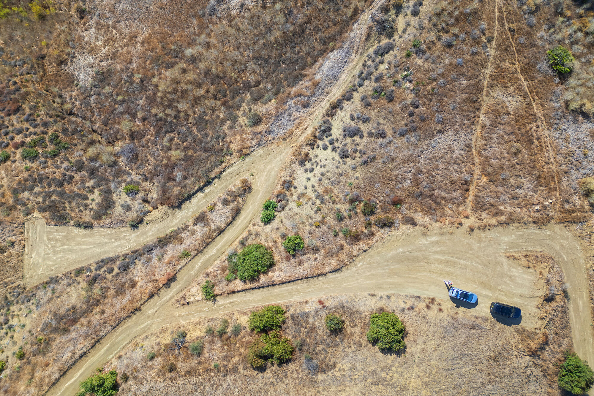
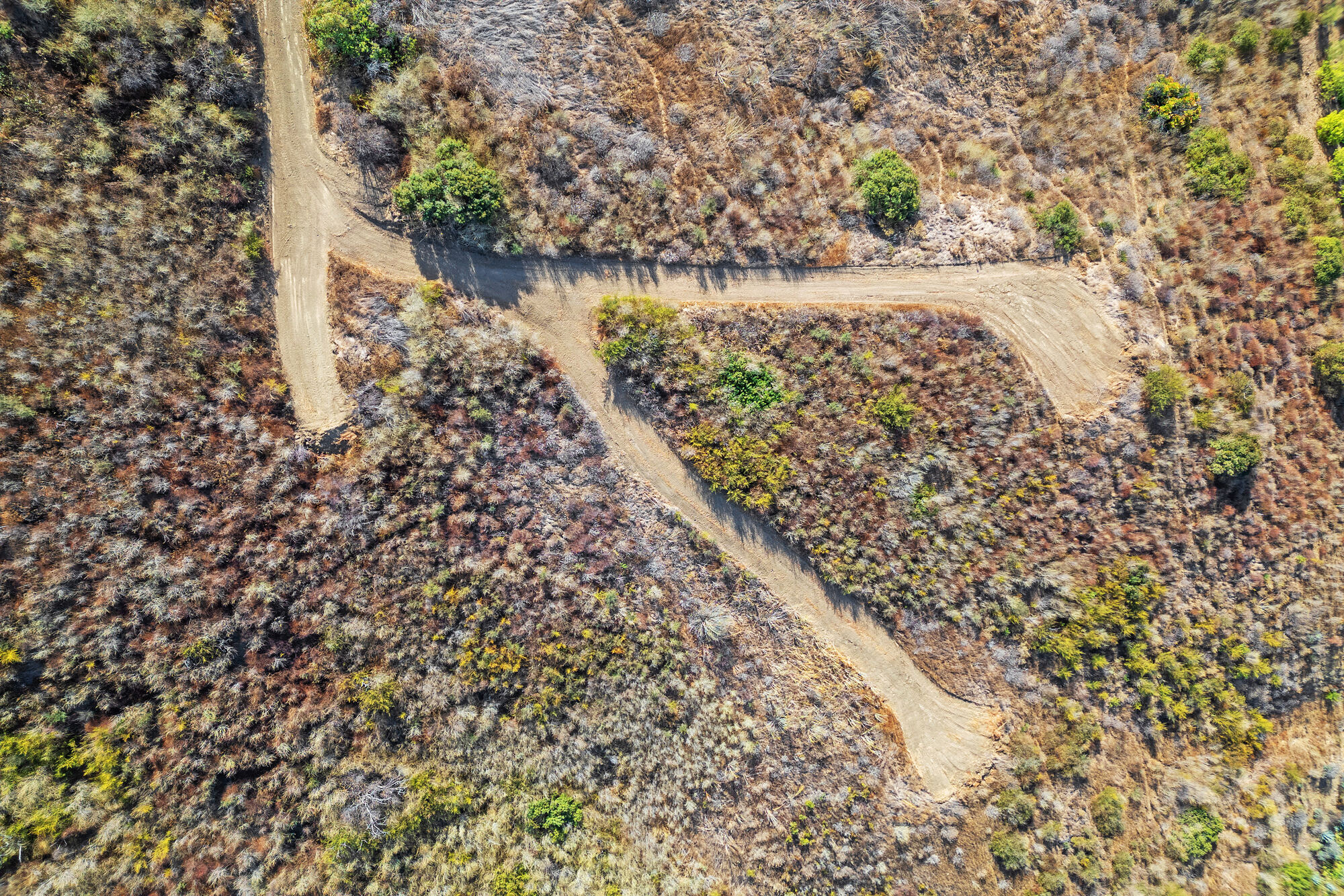
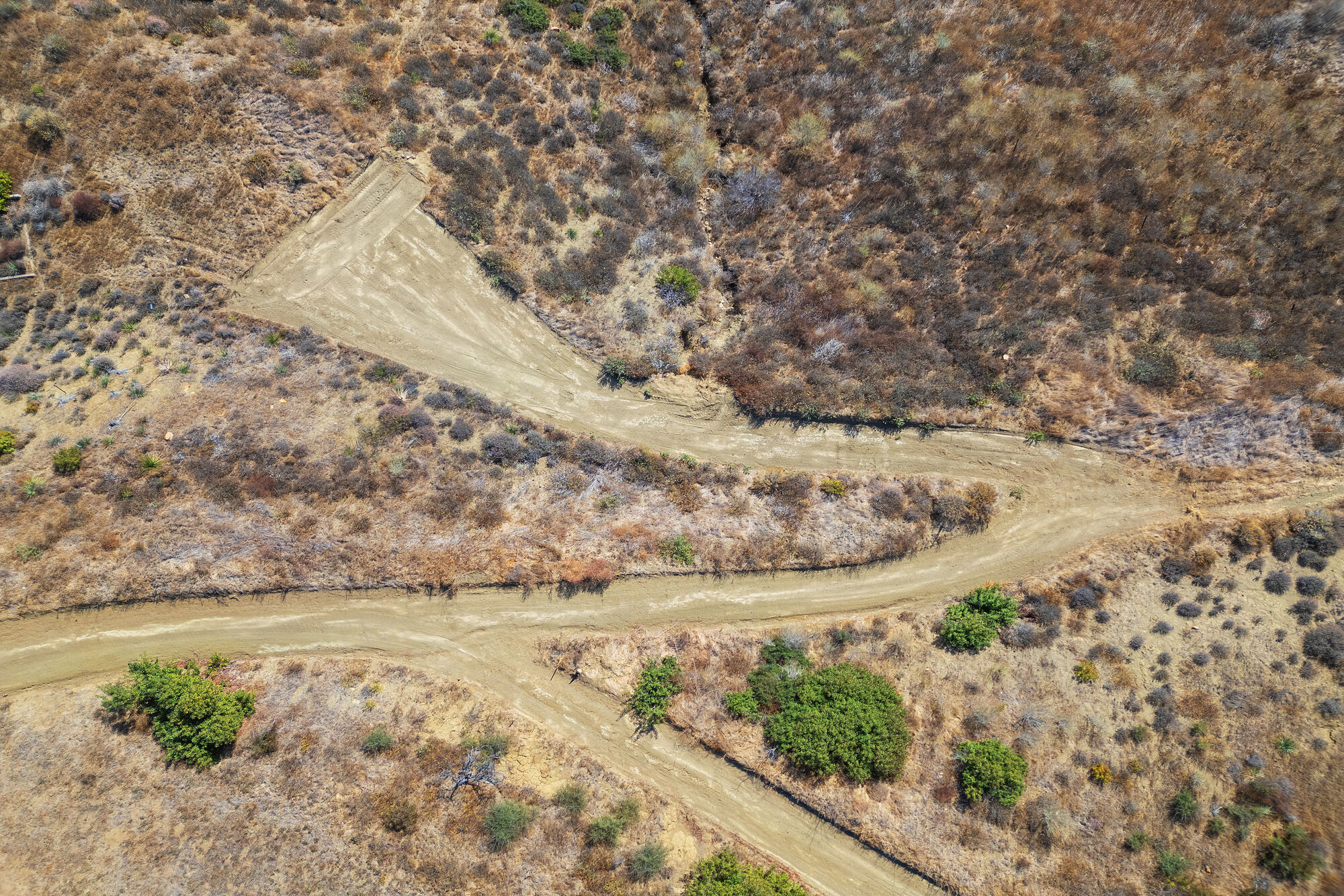
- Aerial, overhead, tracks and clearingListing photography, 19 November 202410-01_Aerial-Overhead-Tracks-and-Clearing_2024-11-19_ListingPhotography.jpg · 0.9 MB
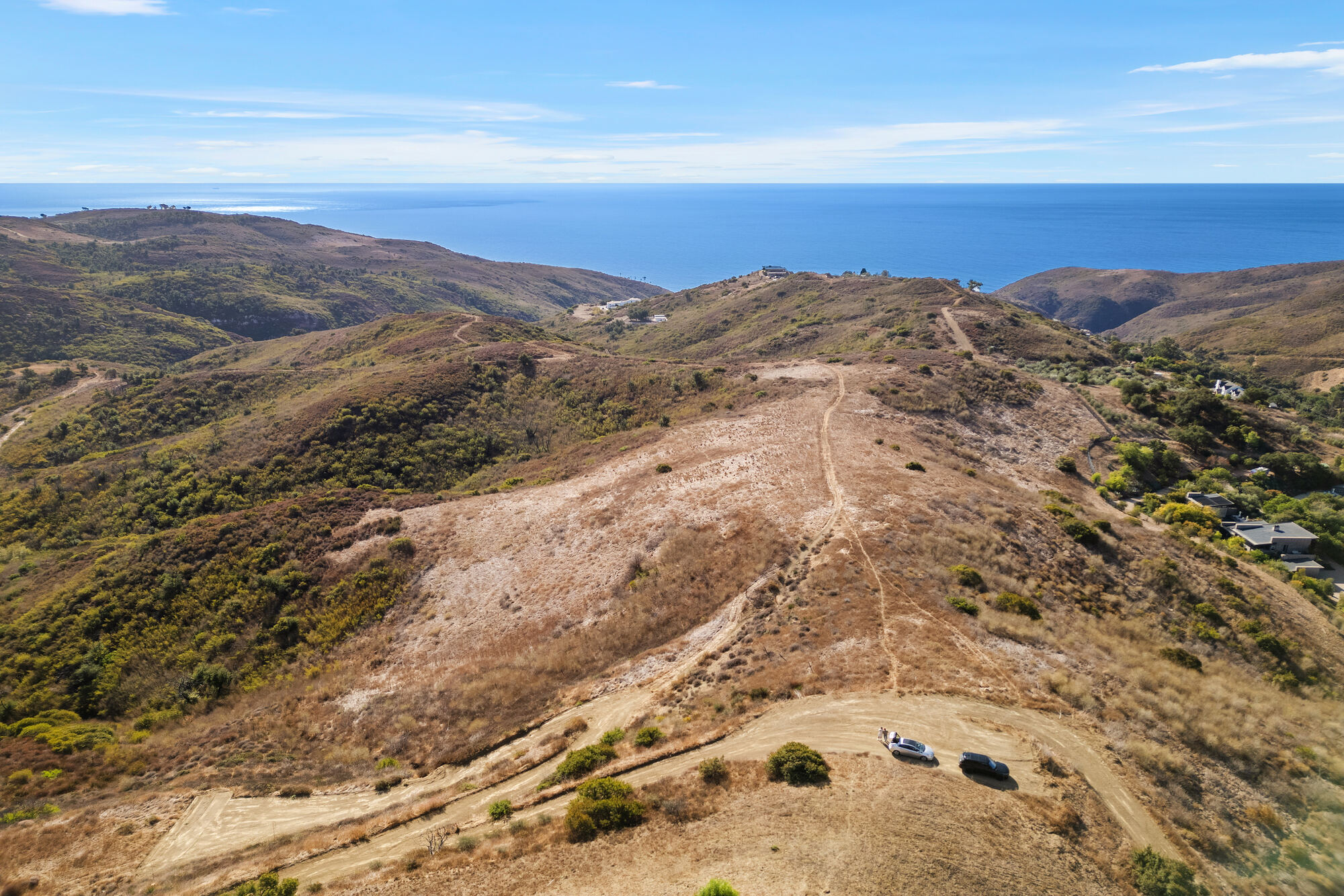
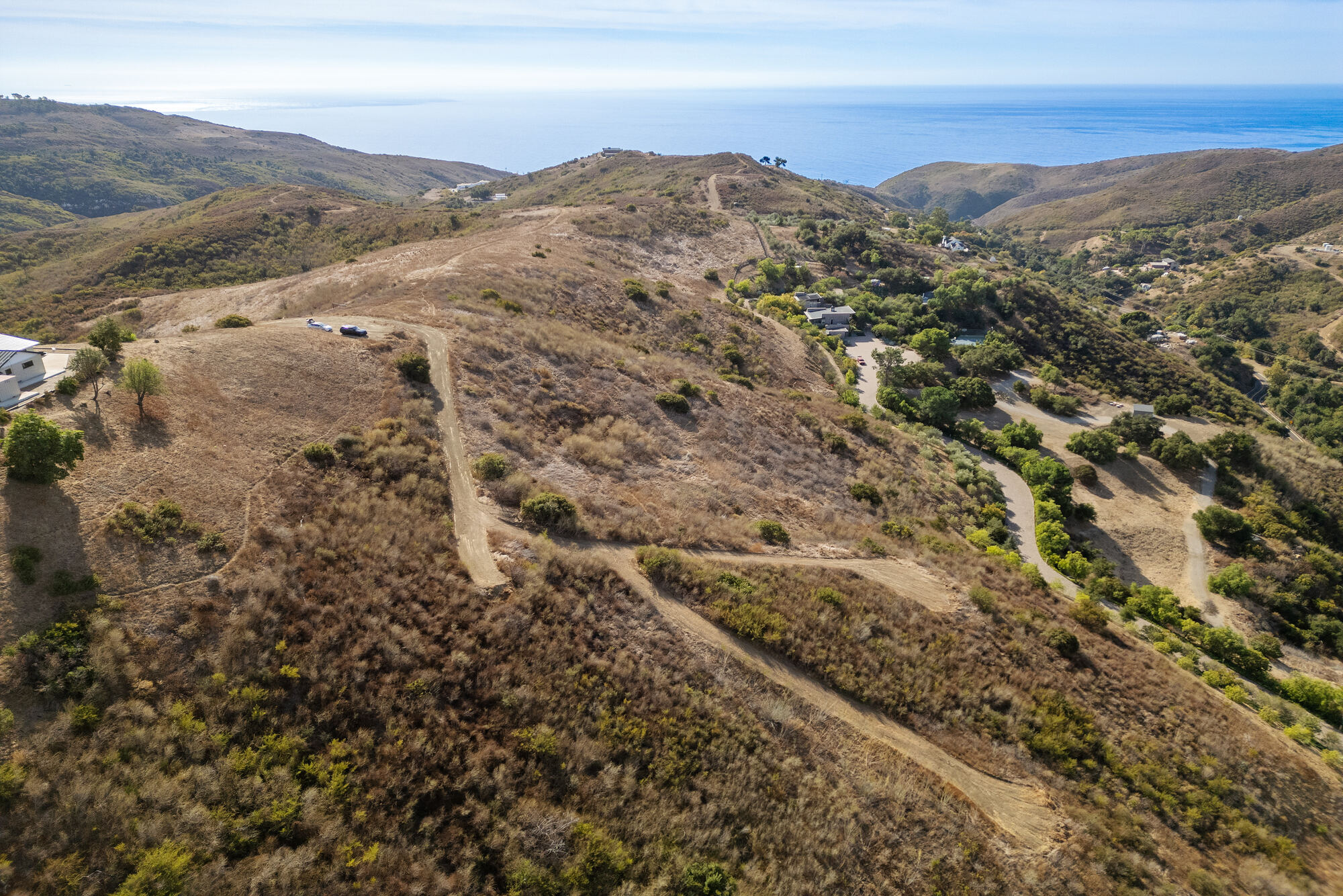
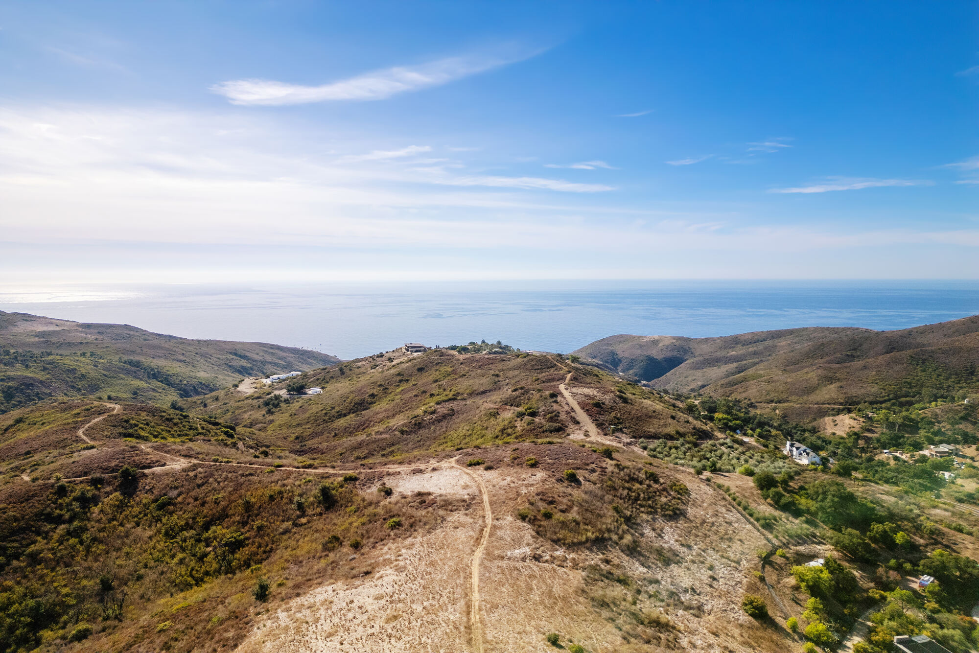
- Aerial, south over the ridge to the oceanListing photography, 19 November 202410-02_Aerial-South-Over-the-Ridge-to-the-Ocean_2024-11-19_ListingPhotography.jpg · 0.6 MB
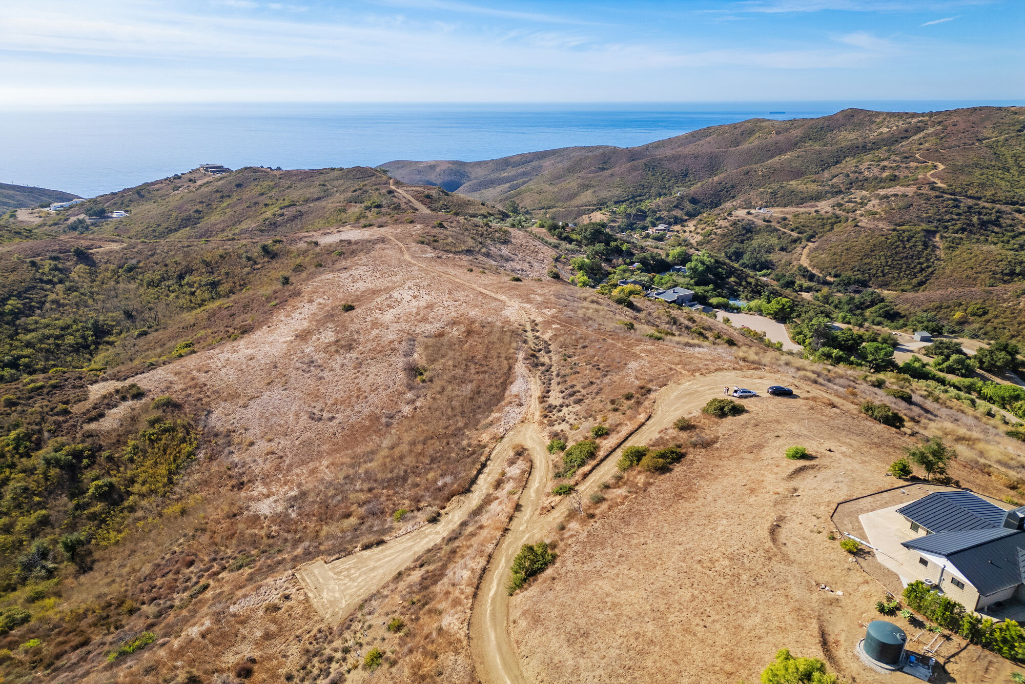
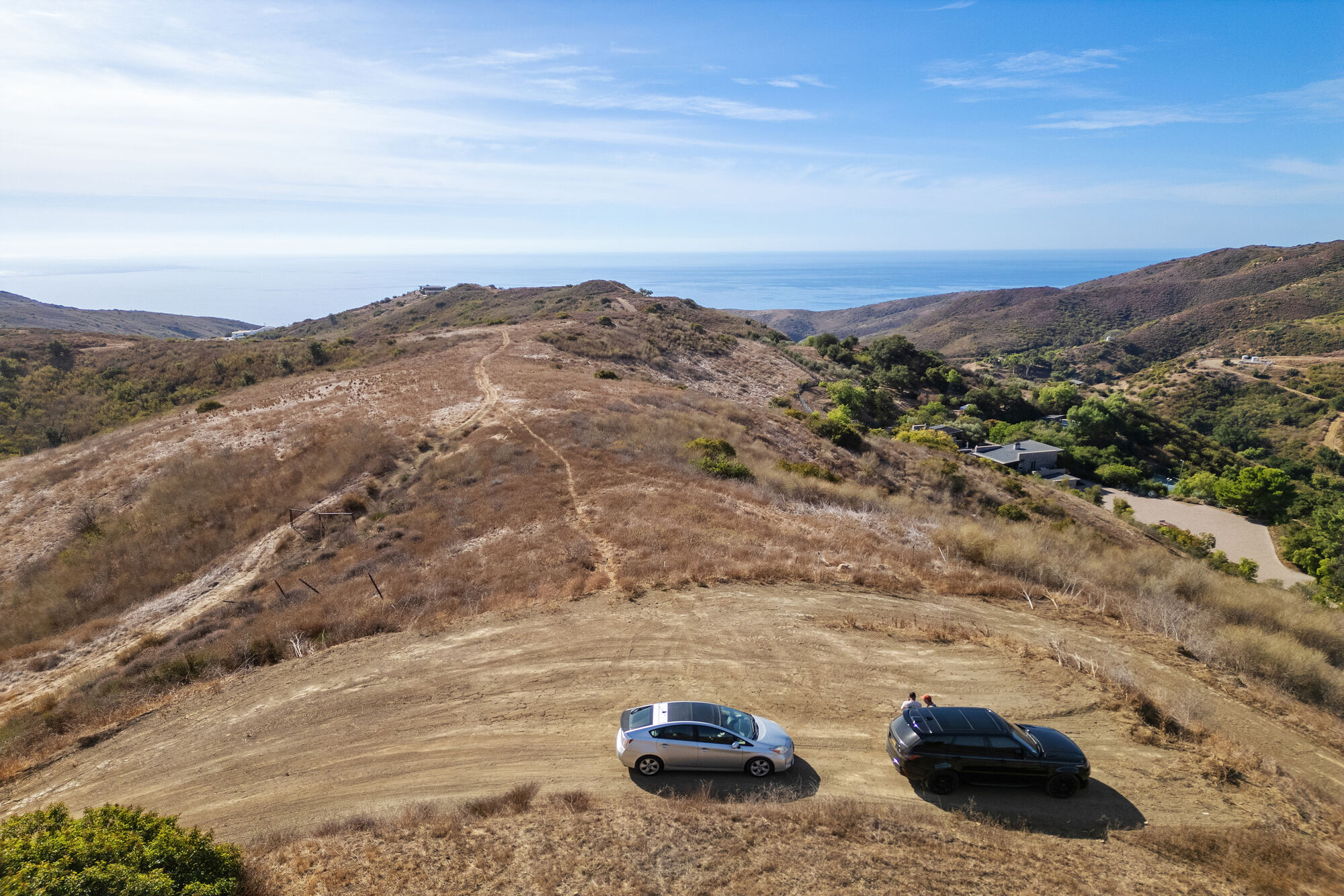
- Aerial, ridge, neighboring homes and the oceanListing photography, 19 November 202410-03_Aerial-Ridge-Neighboring-Homes-and-Ocean_2024-11-19_ListingPhotography.jpg · 0.7 MB
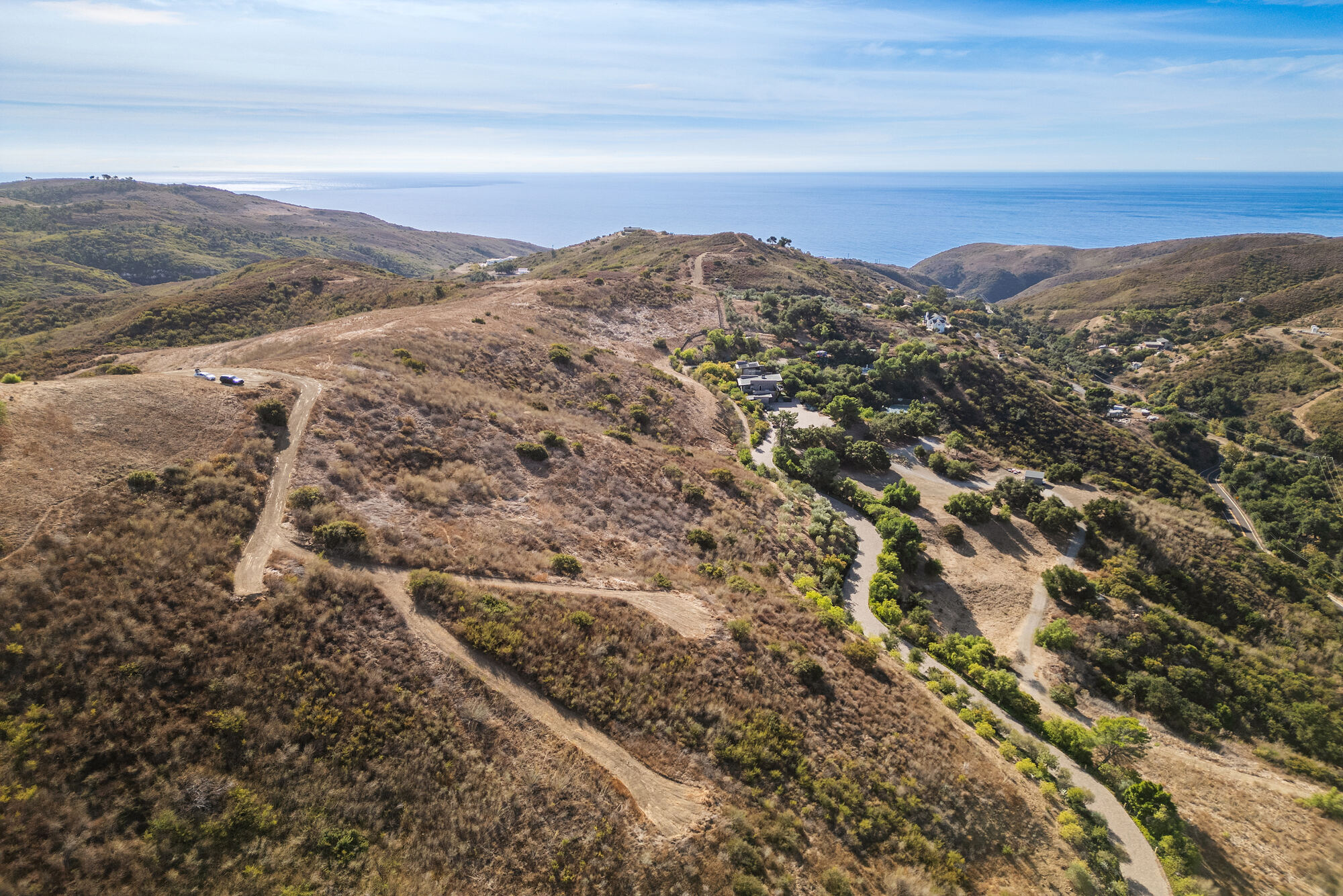
- Aerial, ridge and switchbacks toward the oceanListing photography, 19 November 202410-04_Aerial-Ridge-and-Switchbacks-Toward-the-Ocean_2024-11-19_ListingPhotography.jpg · 0.7 MB
- Aerial, overhead, brush and tracksListing photography, 19 November 202410-05_Aerial-Overhead-Brush-and-Tracks_2024-11-19_ListingPhotography.jpg · 1.2 MB
- Aerial, wide, the ridge and the oceanListing photography, 19 November 202410-06_Aerial-Wide-Ridge-and-Ocean_2024-11-19_ListingPhotography.jpg · 0.7 MB
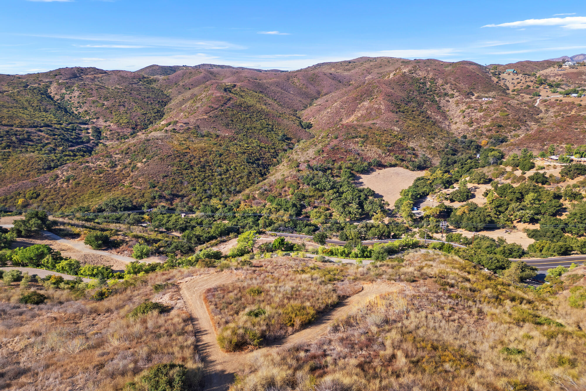
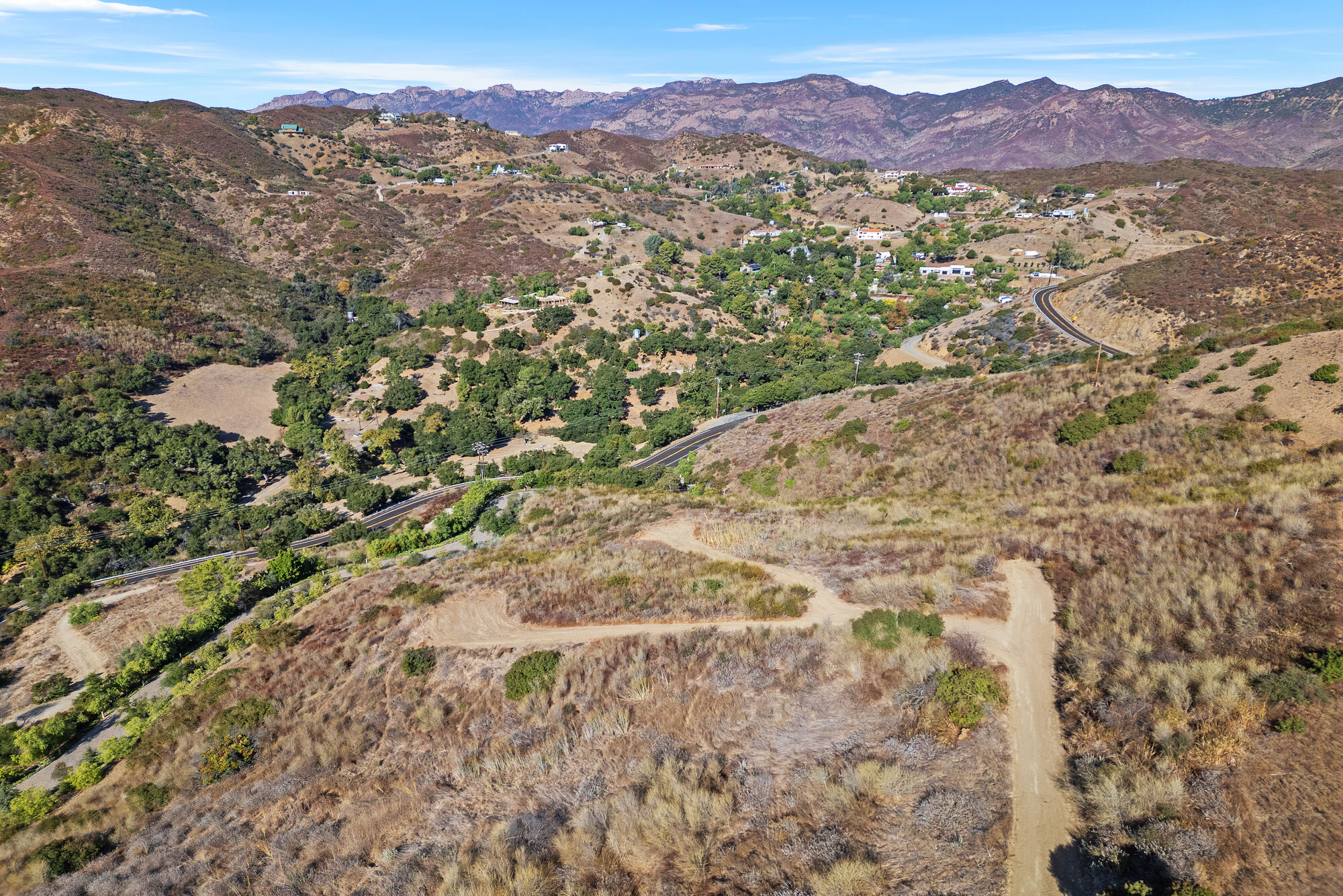
- Aerial, north toward Decker CanyonListing photography, 19 November 202410-07_Aerial-North-Toward-Decker-Canyon_2024-11-19_ListingPhotography.jpg · 0.9 MB
- Aerial, north to the mountainsListing photography, 19 November 202410-08_Aerial-North-to-the-Mountains_2024-11-19_ListingPhotography.jpg · 0.9 MB
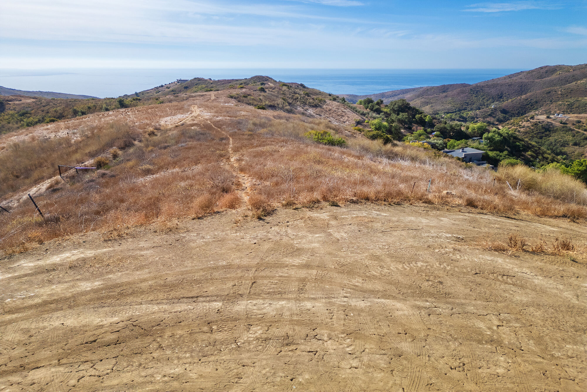
- Aerial, cleared ground toward the oceanListing photography, 19 November 202410-09_Aerial-Cleared-Ground-Toward-the-Ocean_2024-11-19_ListingPhotography.jpg · 0.7 MB
- Aerial, hilltop clearing toward the oceanListing photography, 19 November 202410-10_Aerial-Hilltop-Clearing-Toward-the-Ocean_2024-11-19_ListingPhotography.jpg · 0.6 MB
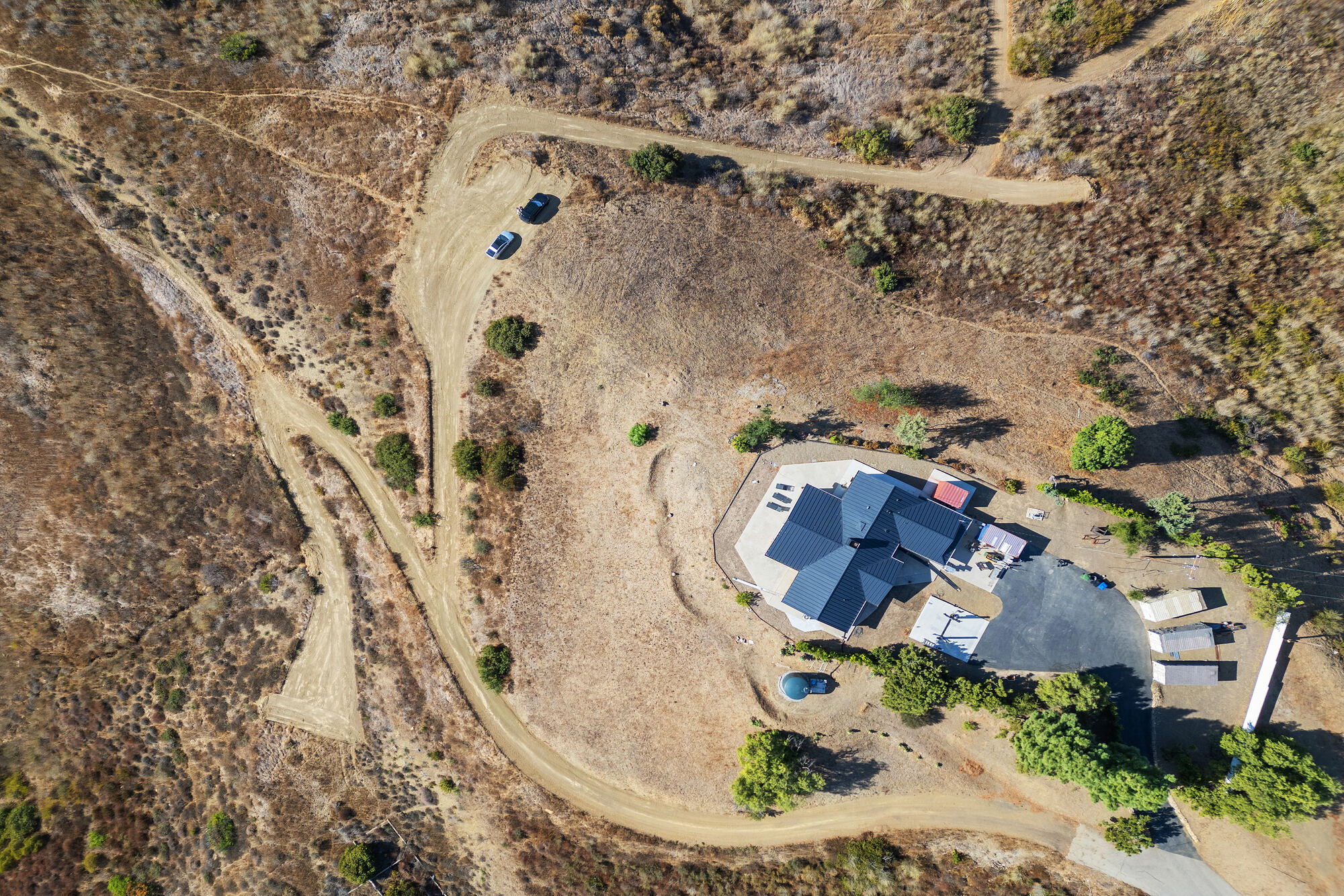
- Aerial, overhead, dirt tracksListing photography, 19 November 202410-11_Aerial-Overhead-Dirt-Tracks_2024-11-19_ListingPhotography.jpg · 1.0 MB
- Aerial, neighboring home, not part of the saleListing photography, 19 November 2024. The home in frame is a neighbor’s and is not part of the sale10-12_Aerial-Neighboring-Home-NOT-PART-OF-SALE_2024-11-19_ListingPhotography.jpg · 0.9 MB
- Aerial, high view south to the oceanListing photography, 19 November 202410-13_Aerial-High-View-South-to-the-Ocean_2024-11-19_ListingPhotography.jpg · 0.5 MB
Available on request
Held back from the public page; a buyer’s agent can have these from the listing team.
- Full, unredacted preliminary title report, Consumers Title order 26-14299-KBJ (the posted copy has private information redacted)
Documents are copies of third-party and public-record material, provided for convenience and not independently verified. Buyers should verify all information with their own professionals.